(1) Locate and inventory archaeological sites and features, combining proven techniques such as surface survey with new methods of prospection, especially satellite remote sensing.
(2) Explore the landscape between "sites", providing context for existing excavation data.
(3) Reconstruct Holocene environmental change, including climate, topography, geology and ecology.
(4) Investigate distributed cultural phenomena such as demographic trends, settlement patterns, productive strategies, and political evolution, using that information to explore the origin and evolution of complex societies.
(5) Investigate the nature and effects of exchange, trade, conquest, and colonisation.
(6) Provide feature inventories and site location models that can inform cultural resource management.
(1) Develop and assess satellite remote sensing as a method for large-scale archaeological reconnaissance.
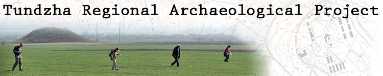
(2) Assess the effectiveness of archaeological surface survey methods in the study region and modify them as needed.
Train students and practitioners of archaeology in contemporary approaches to::
We strive to promote objective methods of data collection and standardized field procedures to produce results that can be verified and compared with other projects.